Malaysia's leading drone mapping specialists
Small, uniquely talented team delivering precision aerial solutions with proven excellence and unwavering commitment to safety.
Who we are
We are Malaysia's first comprehensive drone mapping specialists, combining surveying excellence with aviation expertise and cutting-edge technology.
Our small, uniquely talented team brings together diverse backgrounds in surveying, aviation, and technology innovation, enabling us to deliver exceptional results across various project scales.
As Malaysia Book of Records holders, we have established ourselves as the industry standard for aerial mapping excellence, safety, and reliability.
Malaysia's first end-to-end specialist
Complete drone mapping solutions from initial planning to final deliverables
Proven track record
500+ successful flights with zero safety incidents across diverse industries
Small team advantage
Direct access to decision makers with personalized service and rapid response times
What we do
Comprehensive aerial solutions delivering precision, safety, and actionable insights for your projects.
Mapping
Professional-grade surveys and site mapping with centimeter-level accuracy for construction and planning projects.
Inspection COMING SOON
Visual, thermal, and sensor-based inspection of infrastructure. This service is being prepared for launch.
Monitoring
Advanced monitoring solutions for environmental assessment and compliance reporting.
Our vision
Transforming complex spatial data into clear, actionable maps that drive smarter decisions.
Clarity
Making complex data easily understood through intuitive visual formats that empower instant decision-making.
Confidence
Delivering actionable insights that enable decisive moves with complete confidence in project outcomes.
Continuity
Solid foundations with comprehensive documentation for future reference, comparison, and analysis.
Our mission
Our mission is to deliver exceptional drone mapping solutions that transform how Malaysia approaches aerial surveying and data collection.
We are committed to maintaining the highest standards of safety, precision, and professionalism while providing personalized service that exceeds client expectations.
Through innovation, integrity, and unwavering dedication to excellence, we empower our clients to make informed decisions that drive their success.
Safety first
100% safety record across 500+ flight operations
Precision focus
Centimeter-level accuracy in every project delivery
Client success
Personalized service with direct access to decision makers
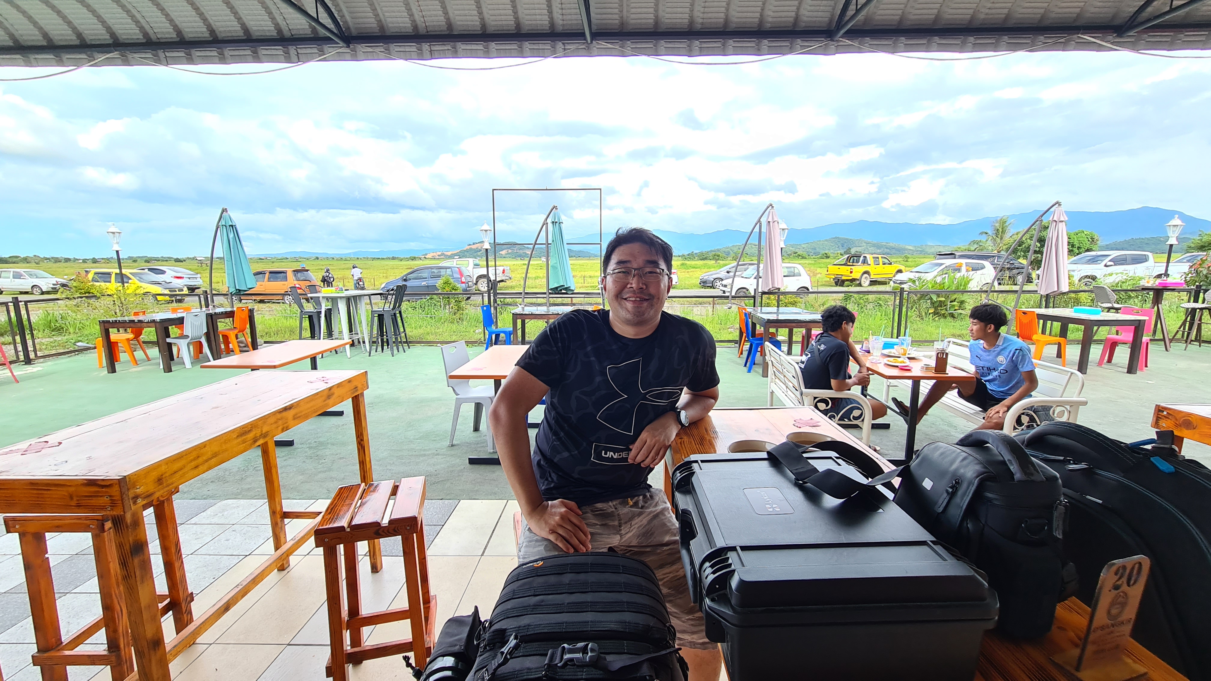
Our workspace
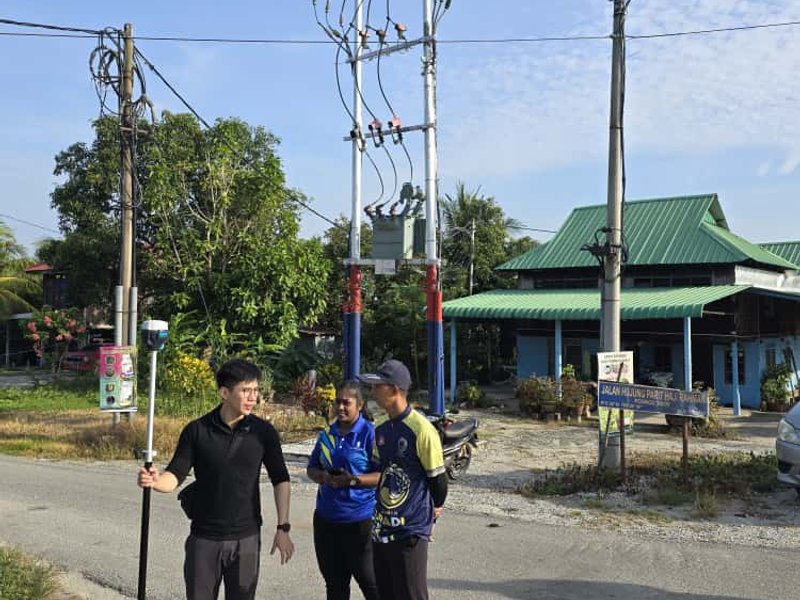
Team conducting field survey
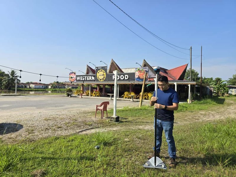
Field survey setup and planning
Ready to experience the difference?
Join Malaysia's leading companies who trust Dronify for their most critical mapping projects.
Start your projectClient portfolio
Trusted by leading companies across Malaysia for their most critical mapping projects.