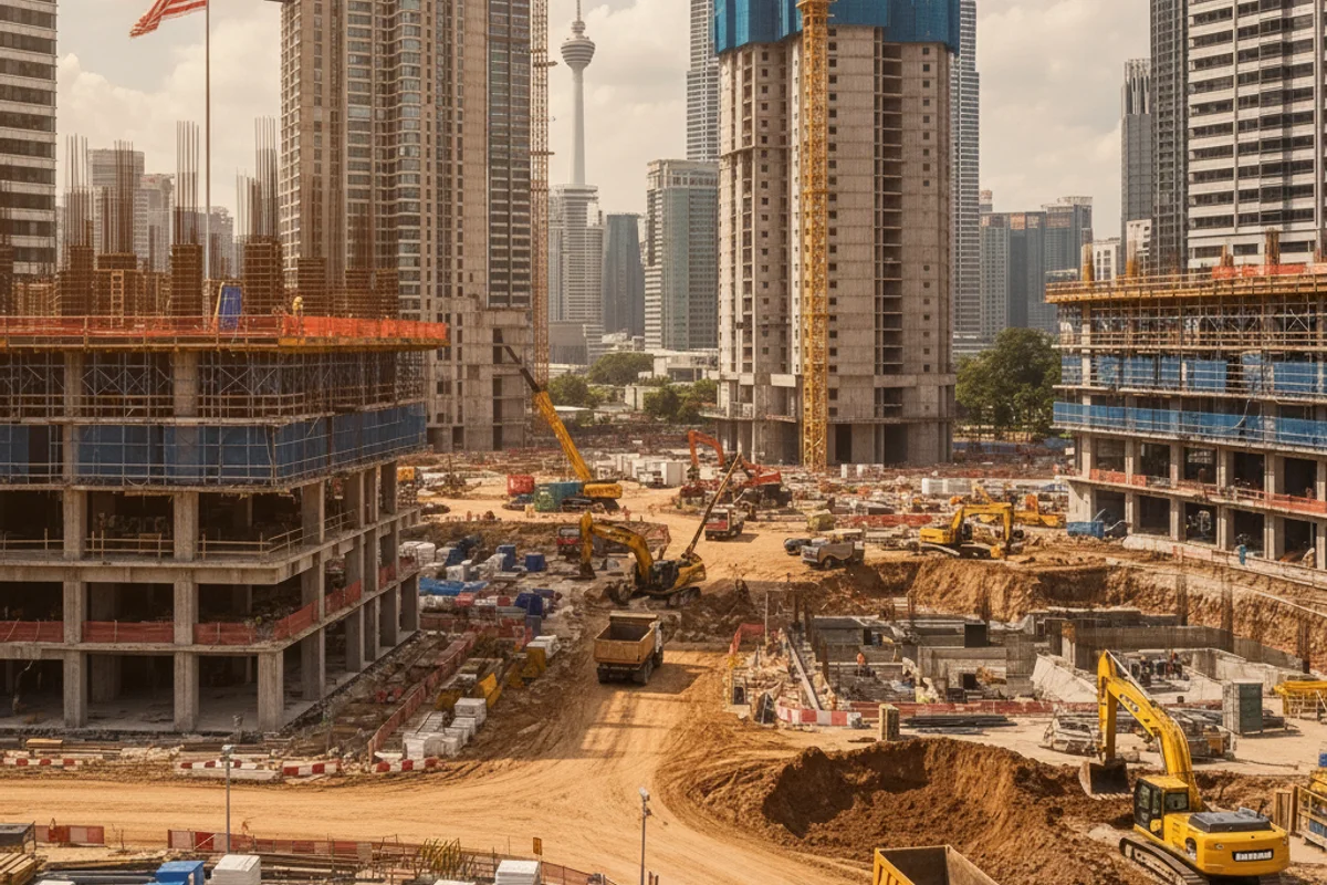
Industry Insights & Success Stories

Written Articles

In-depth analysis, insights, and case studies from our drone mapping experts

Video Content

Project showcases, tutorials, and industry insights in video format

Introduction to 3D Point Cloud

Learn how pre-bid drone surveys help construction and engineering companies stand out in competitive tenders with accurate site data.

Tutorial Tender Strategy
PLAYLIST

Drone Mapping Showcase

Real-world drone mapping demonstration showcasing professional surveying capabilities and data collection techniques.

Demo Project Showcase

Highway Expansion Drone Survey

Comprehensive overview of professional drone mapping and surveying services for construction and infrastructure projects.

Overview Services

Aerial Drone Survey for River Sedimentation Study

Environmental drone surveying project demonstrating aerial data collection techniques for river sedimentation analysis and monitoring.

Case Study Environmental

Dronify Official Showreel 2024

Official company showreel showcasing our best drone mapping projects, capabilities, and professional services throughout 2024.

Showreel Portfolio

A day with Tesla Warriors

Behind-the-scenes look at a special collaboration day with Tesla Warriors, showcasing innovative technology and teamwork.

Collaboration Behind the Scenes

Subscribe to Our Channel

Stay updated with our latest project videos, tutorials, and industry insights delivered directly to your feed.