Drone mapping
Precise aerial surveying with survey-grade accuracy using RTK/GPS technology. Fast, cost-effective mapping solutions for engineering, construction, and infrastructure projects.
What is drone mapping?
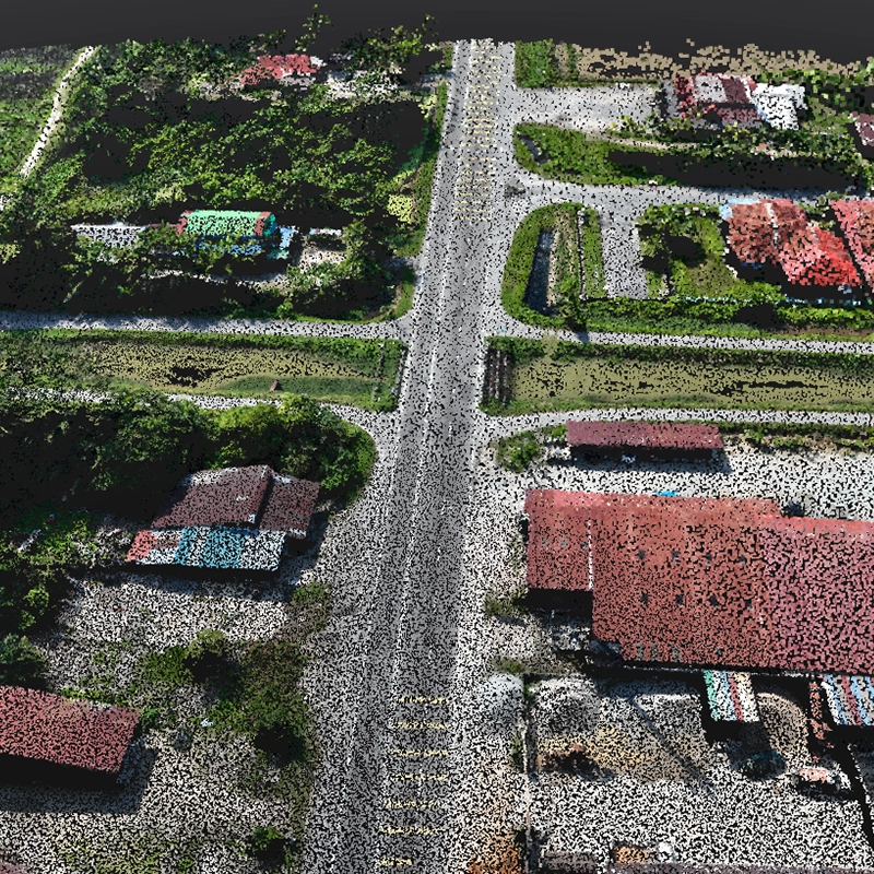
Advanced geospatial data acquisition using precision photogrammetry, not simple aerial photography.
Survey-grade technology
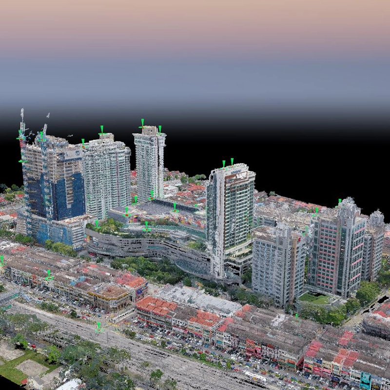
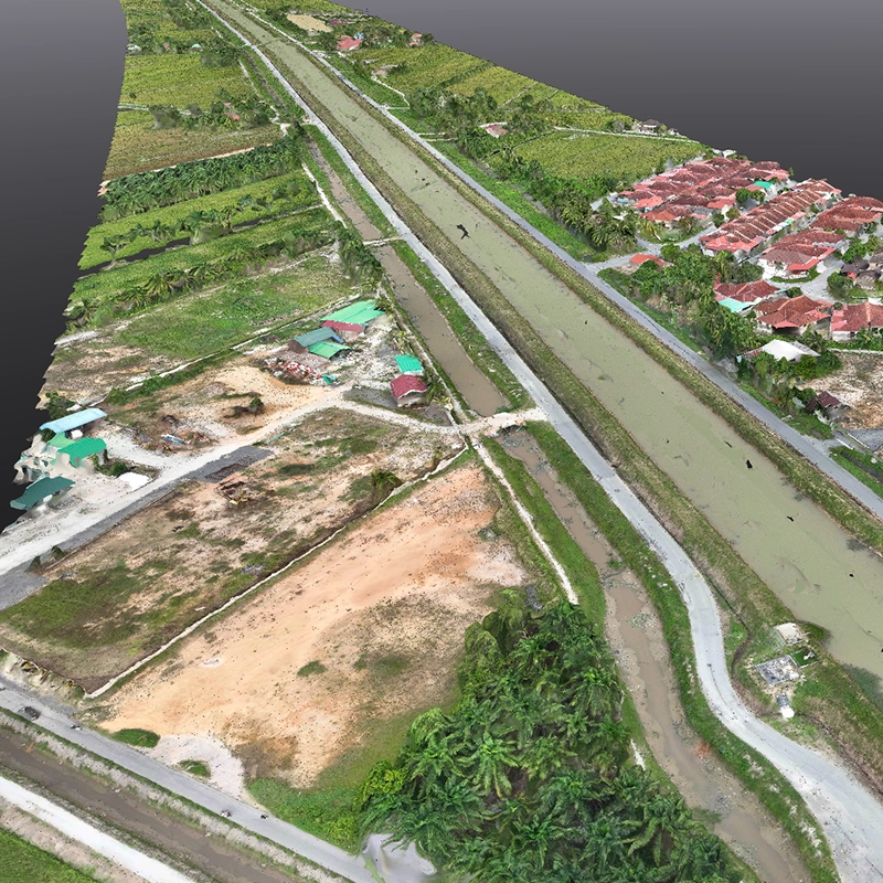
Professional drone mapping combines multi-sensor data capture with advanced RTK/GPS positioning to create georeferenced, measurable datasets. Our certified pilots use survey-grade equipment to achieve centimeter-level accuracy through Ground Control Point integration.
- Ground Sampling Distance: 1-5cm/pixel depending on flight altitude
- Positional Accuracy: ±2cm with GCP integration (1-2 pixel GSD in X,Y)
- Coverage Capability: Up to 1,000 hectares per day
Professional processing workflow
Applications by industry
Sector-specific implementations demonstrating proven technical capabilities and measurable outcomes.
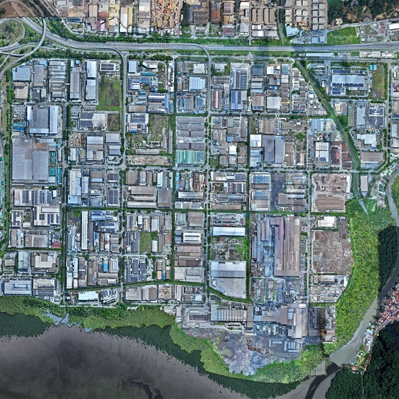
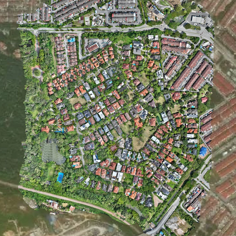
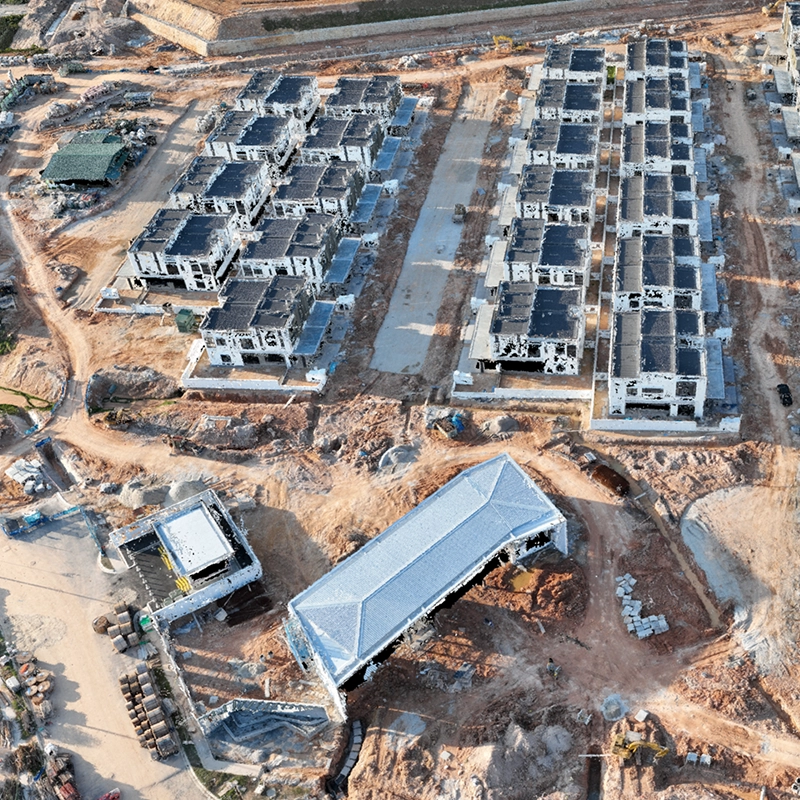
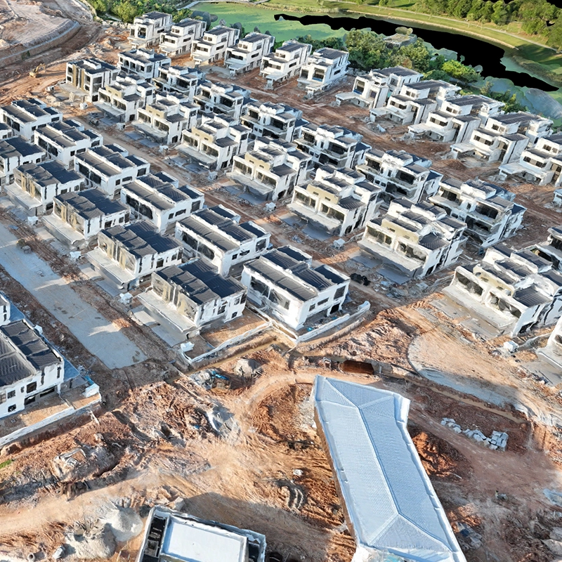
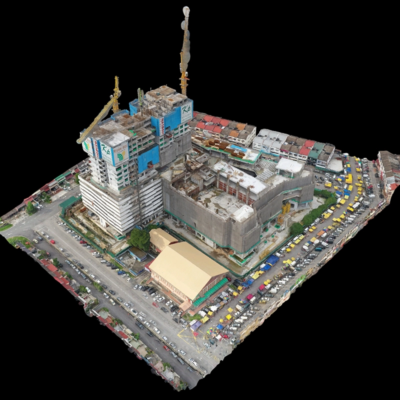
Construction & infrastructure
Engineering- Topographic surveys for project planning and design
- Cut-and-fill calculations with volumetric analysis
- Progress monitoring with temporal change detection
- As-built documentation for project closure
Typical Applications: Large-scale highway surveys, industrial site mapping, urban development planning
Engineering consultancy
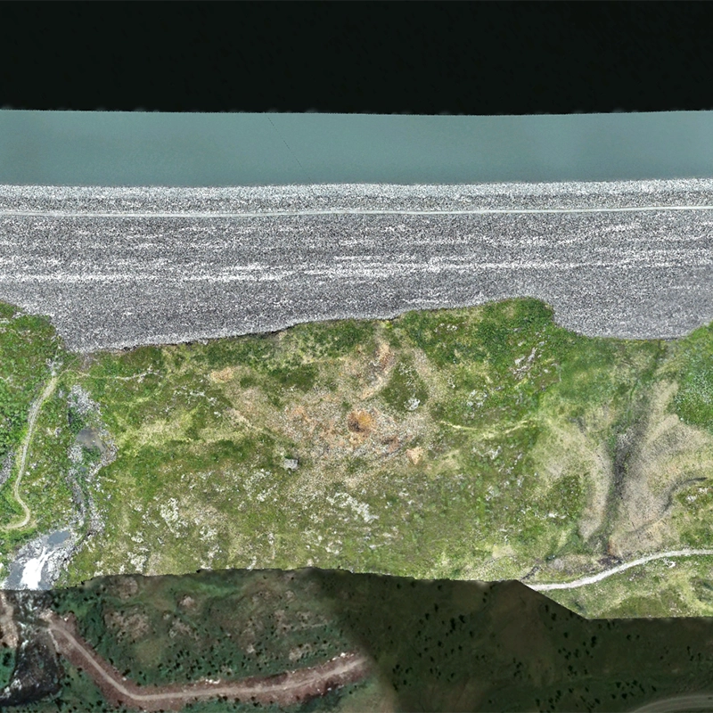
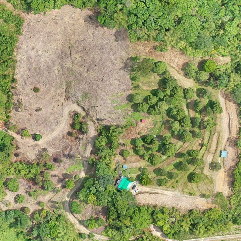
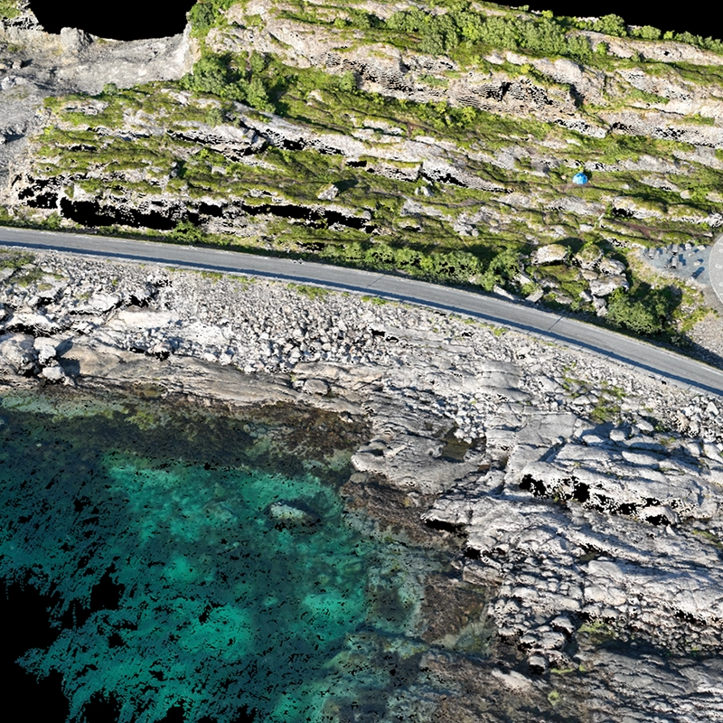
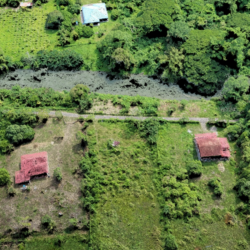
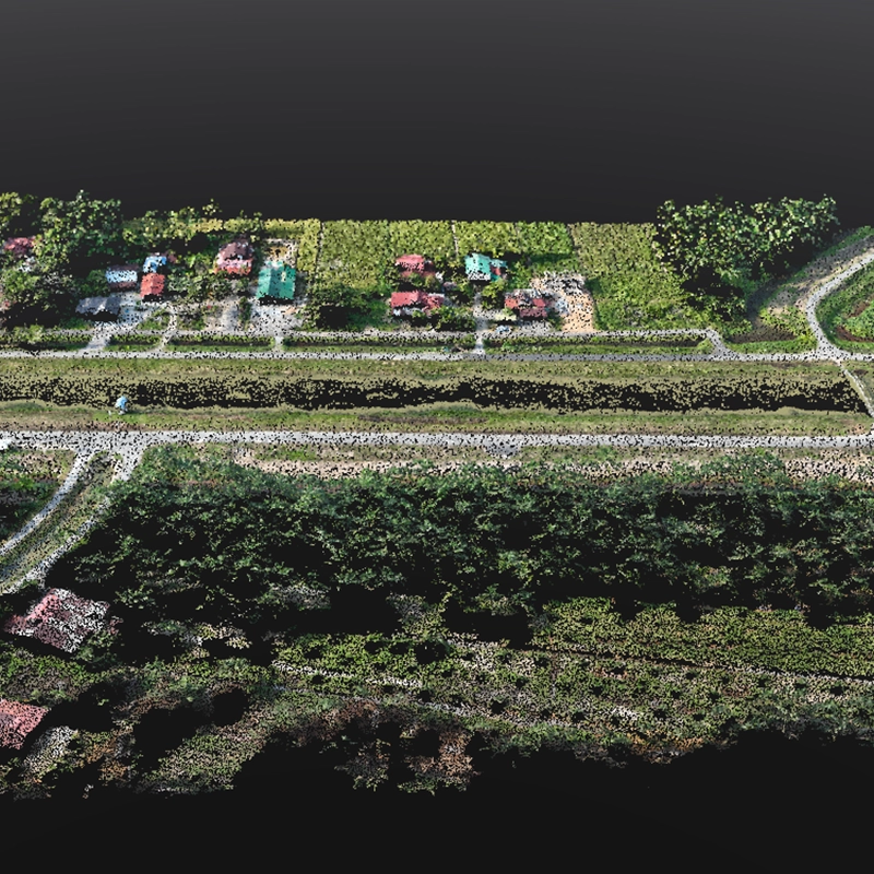
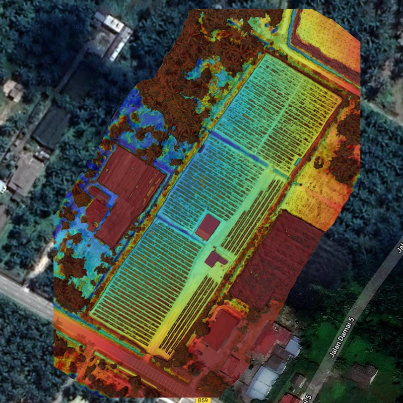
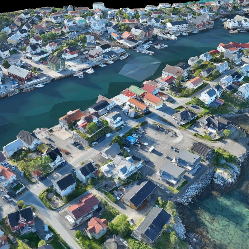
Analysis- Site feasibility studies with comprehensive terrain analysis
- Environmental impact assessments using multispectral analysis
- Hydrological modeling with high-resolution DEMs
- Infrastructure planning with 3D visualization
Typical Applications: River corridor assessments, environmental impact studies, watershed analysis
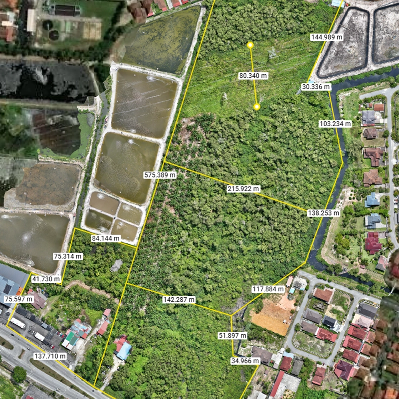
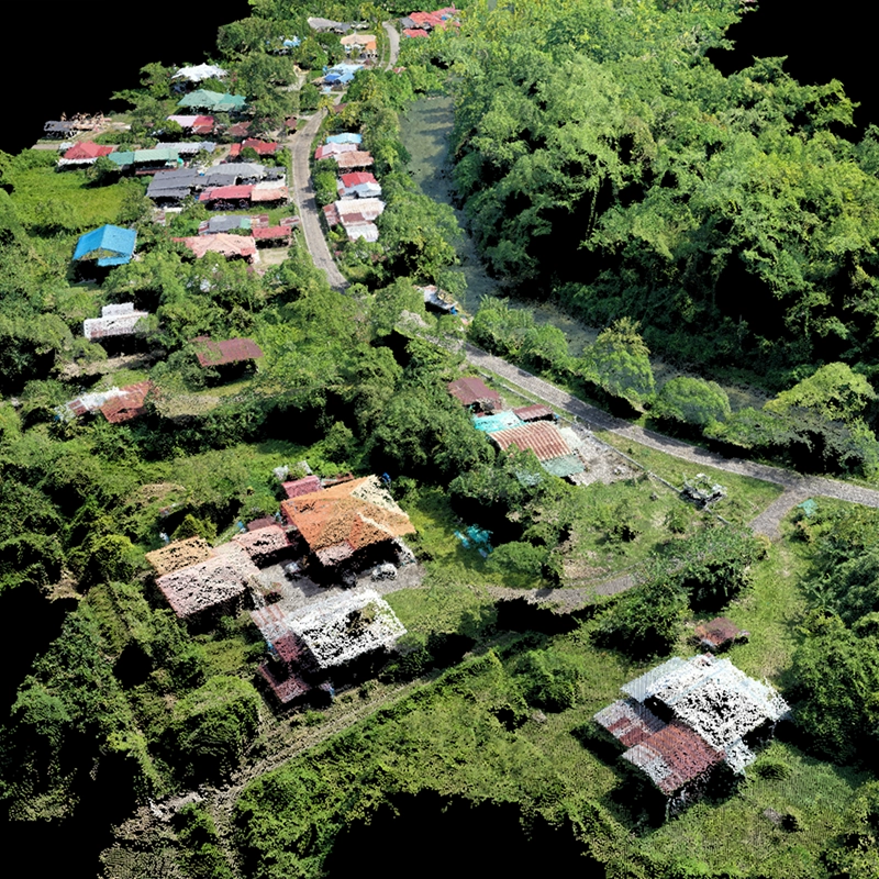
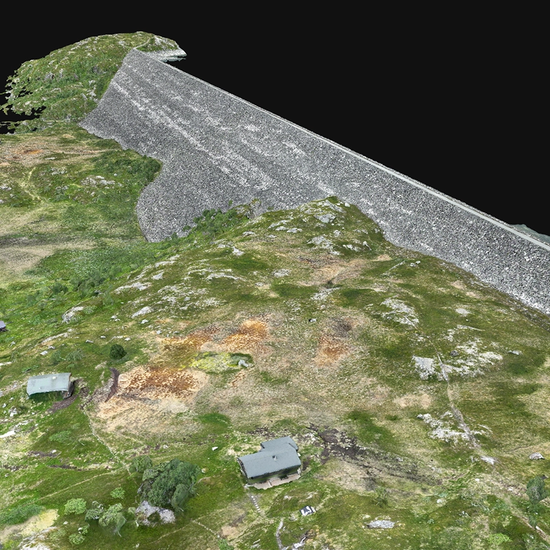
Asset management
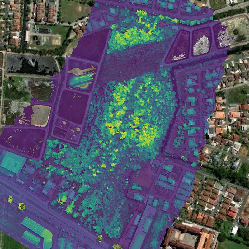
Monitoring- Condition assessments using thermal and RGB data fusion
- Asset inventory creation with precise geolocation
- Risk assessment through detailed structural analysis
- Supporting documentation aligned with regulatory requirements
Typical Applications: Canal system monitoring, irrigation infrastructure, asset condition assessments
Core mapping products
Orthomosaic maps


- CAD base mapping for engineering design
- GIS analysis and spatial planning
- Change detection and monitoring
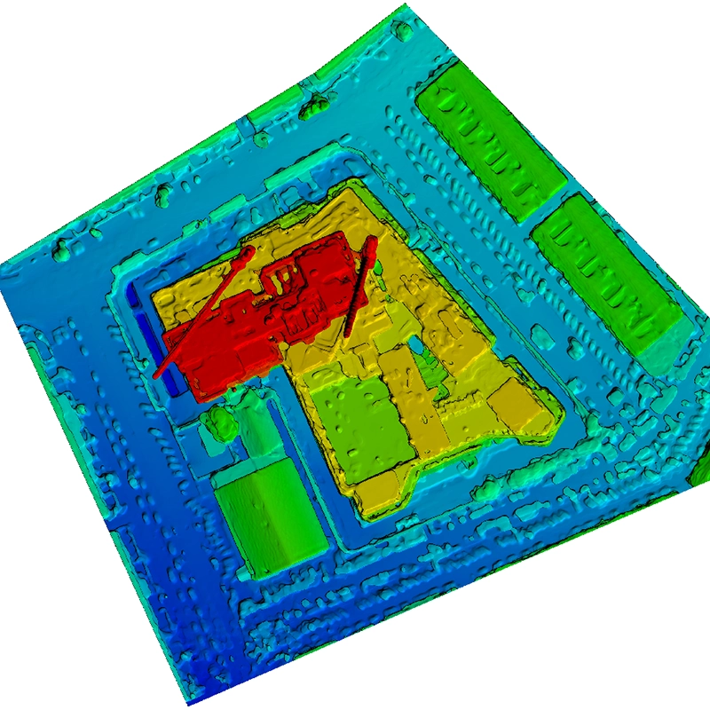
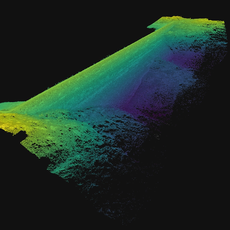
3D point clouds
- 3D modeling and visualization
- Volume calculations and stockpile management
- BIM integration for construction projects
Elevation model
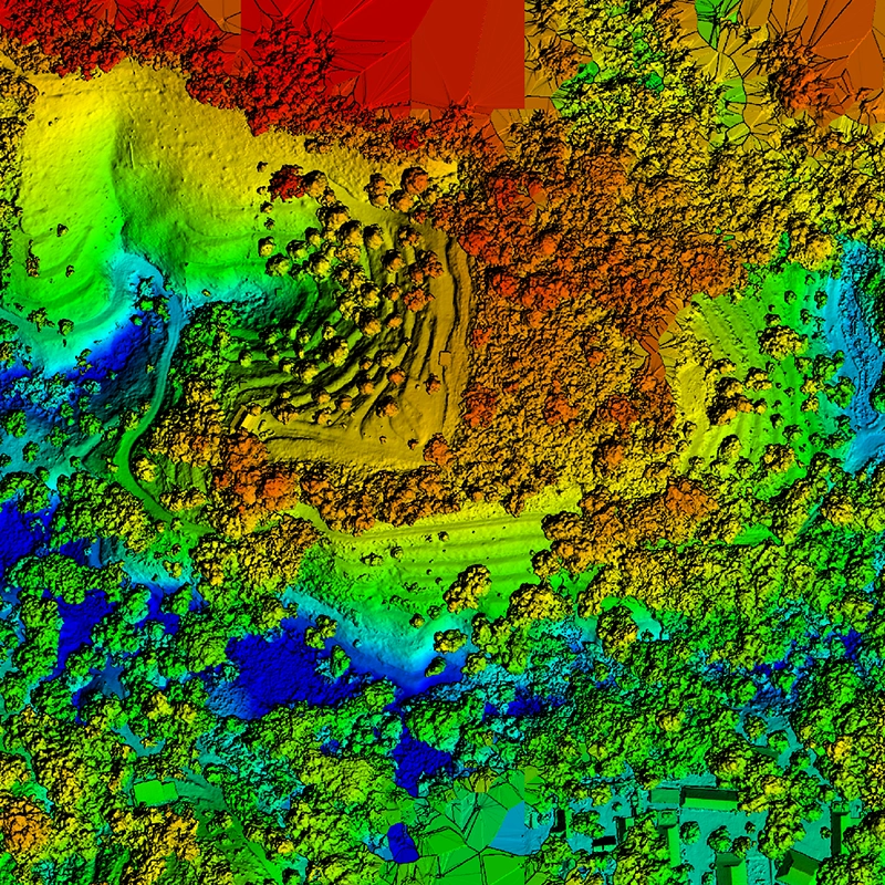
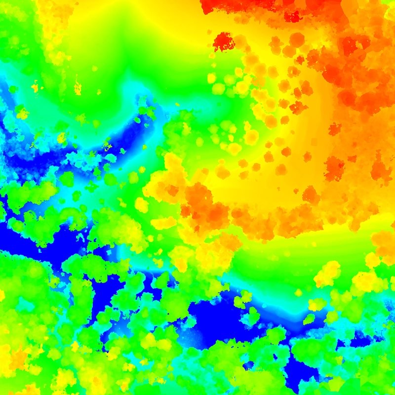
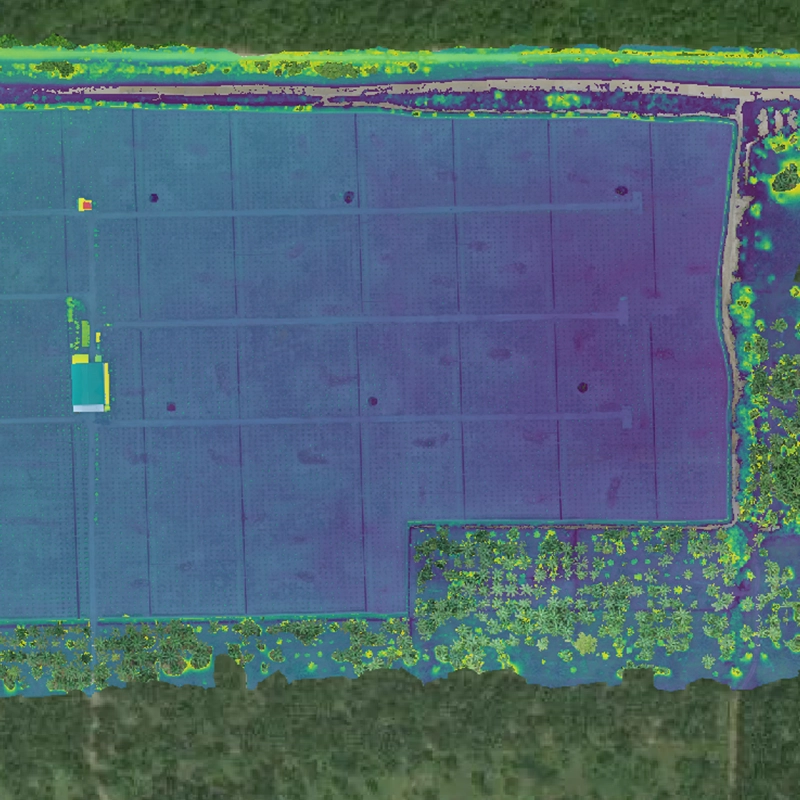
- Hydrological flow modeling
- Cut-and-fill analysis for earthworks
- Slope stability analysis
3D textured meshes
- Virtual reality presentations
- Digital twin creation for asset management
- Design validation and review
Software integration capabilities
Native compatibility with industry-standard CAD, GIS, and specialized analysis platforms.
CAD software integration
AutoCAD Civil 3D: Direct import of point clouds, surfaces, and orthoimages
MicroStation: Native support for .dgn export and 3D modeling
Revit: Point cloud integration for BIM workflows
SketchUp/Rhino: Mesh import for architectural visualization
GIS platform compatibility
ArcGIS: Full integration with geodatabase formats
QGIS: Open-source compatibility with all standard formats
Global Mapper: Advanced terrain analysis and processing
Google Earth Pro: .kml overlay capabilities
Specialized analysis software
Pix4D: Native processing and analysis platform
Agisoft Metashape: Professional photogrammetry processing
CloudCompare: Advanced point cloud analysis
Volume Software: Direct export capabilities for calculations
Ready for your next step?
Get expert consultation and detailed assessment for your mapping project.
Project assessment
Get expert consultation and detailed assessment for your mapping project requirements and accuracy needs.
Start assessmentView portfolio
Explore our comprehensive portfolio of successful mapping projects with survey-grade accuracy results.
View portfolioCalculate savings
Interactive ROI calculator to estimate potential cost savings and efficiency gains for mapping services.
Calculate savings