Drone Mapping
Done Right
Malaysia's premier drone mapping specialists delivering strategic competitive advantage through precision technology. Accelerate project timelines, reduce operational costs, and eliminate survey-related risks with survey-grade accuracy trusted by enterprise leaders.
Core Capabilities
Minimize operational costs, eliminate personnel safety risks, and dramatically accelerate project timelines through precision aerial data collection.
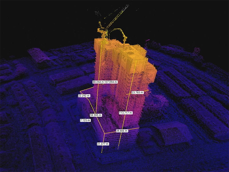
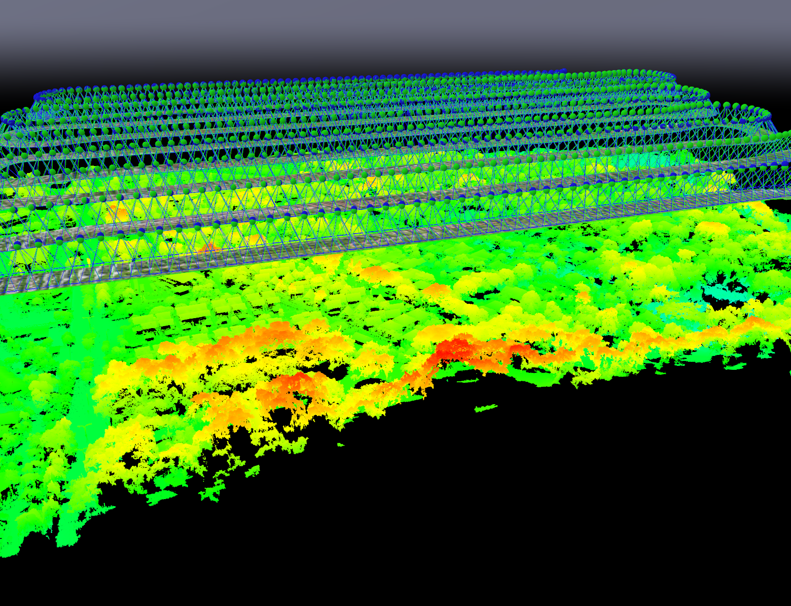
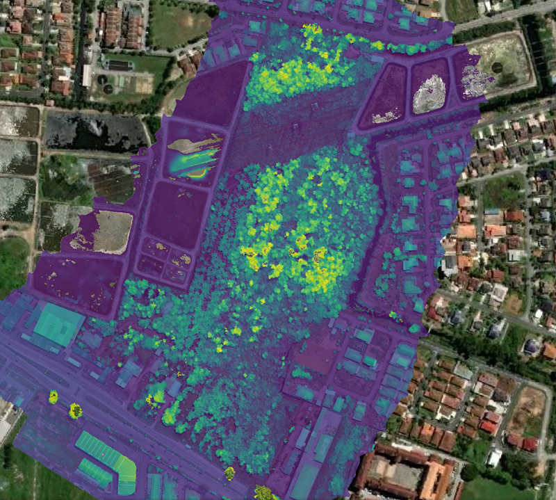
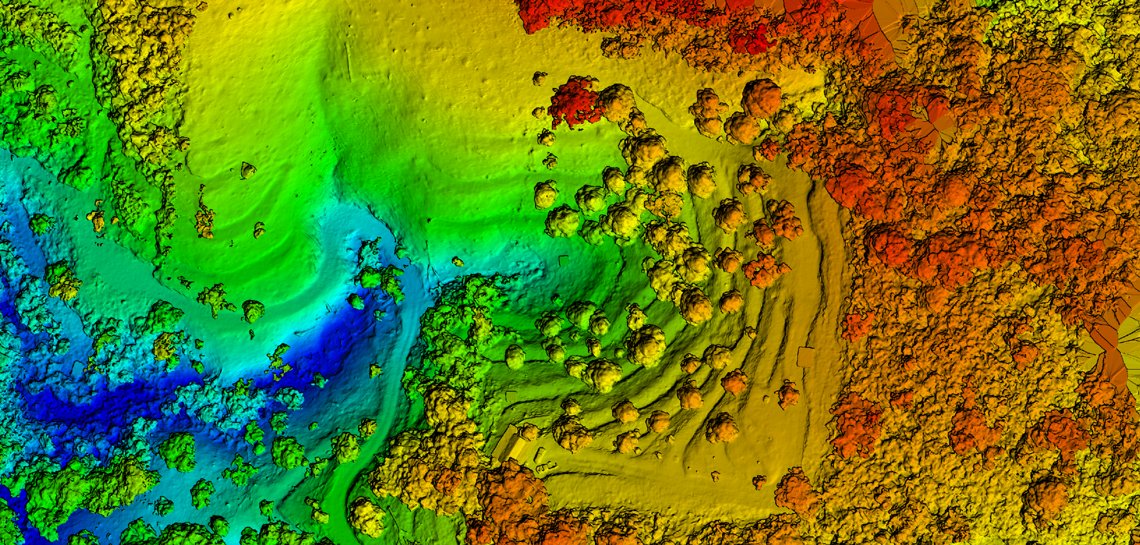
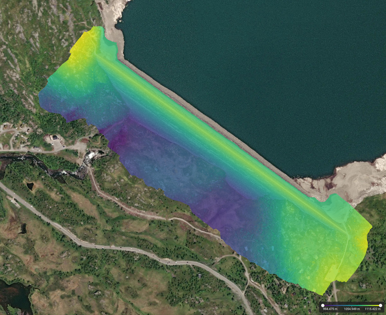
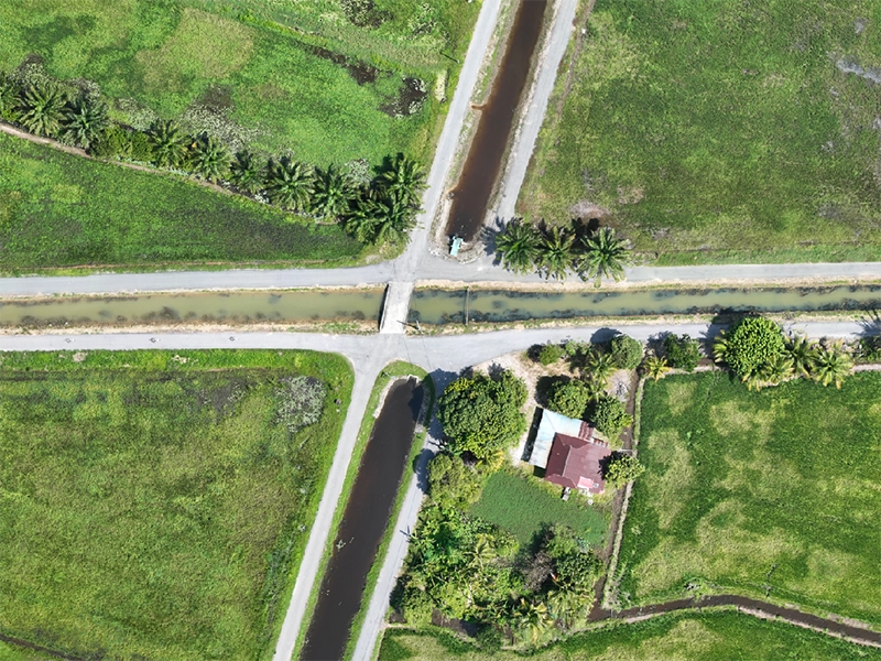
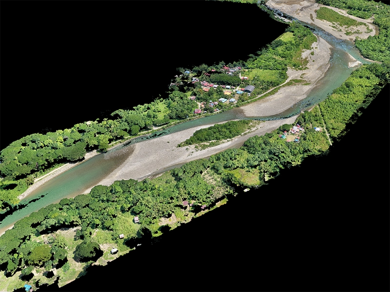
Survey-Grade Mapping
Mapping

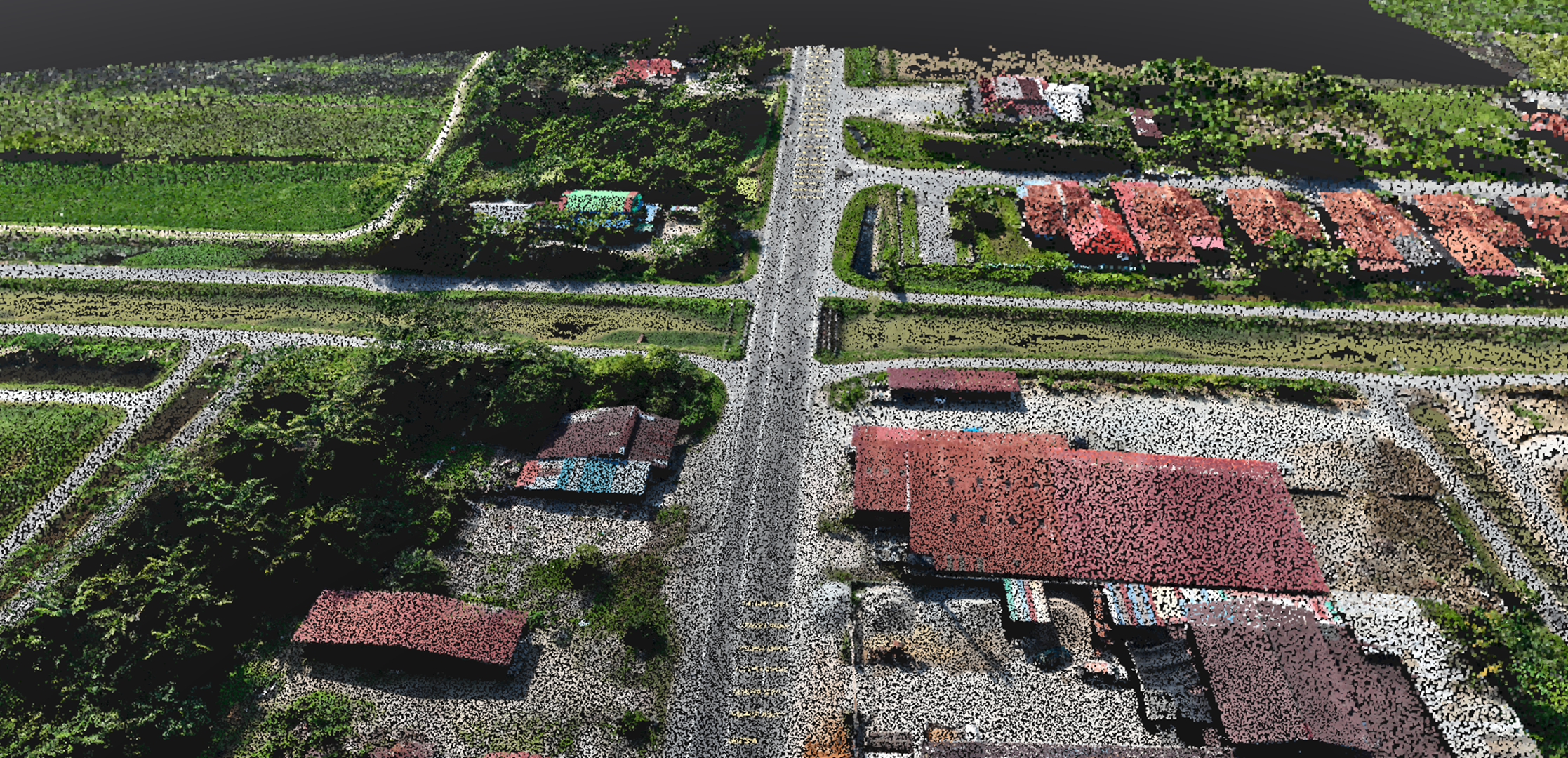
Site Inspection
Inspection
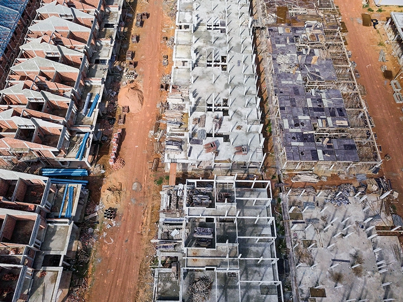
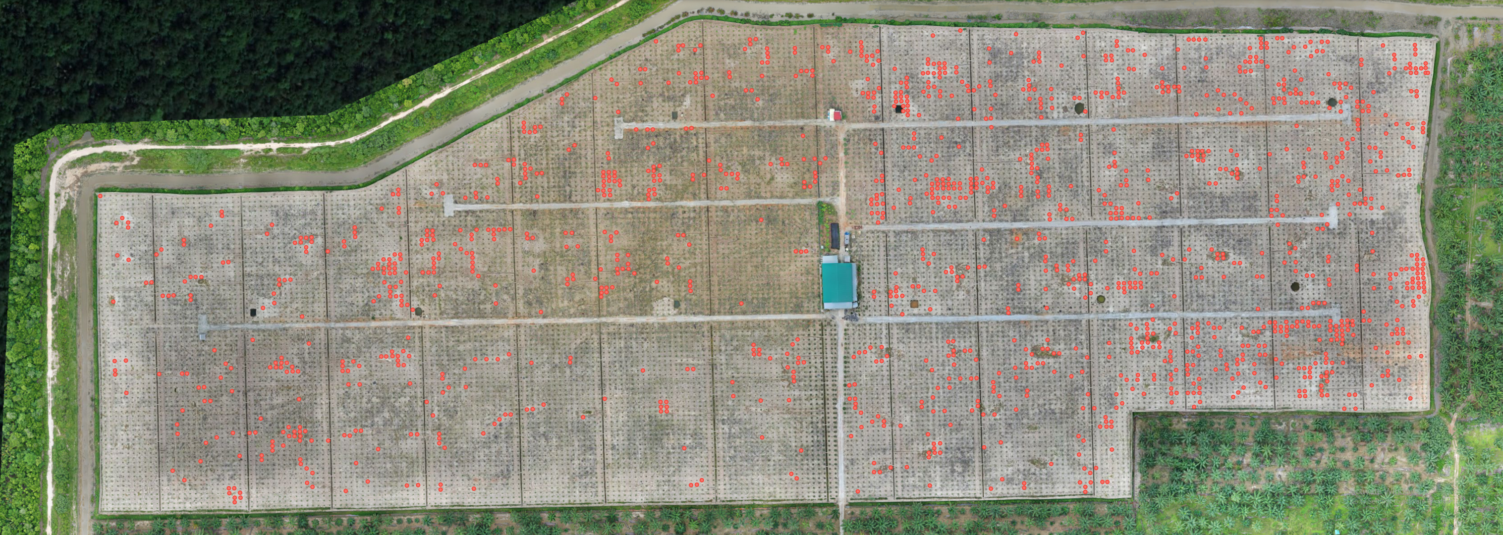
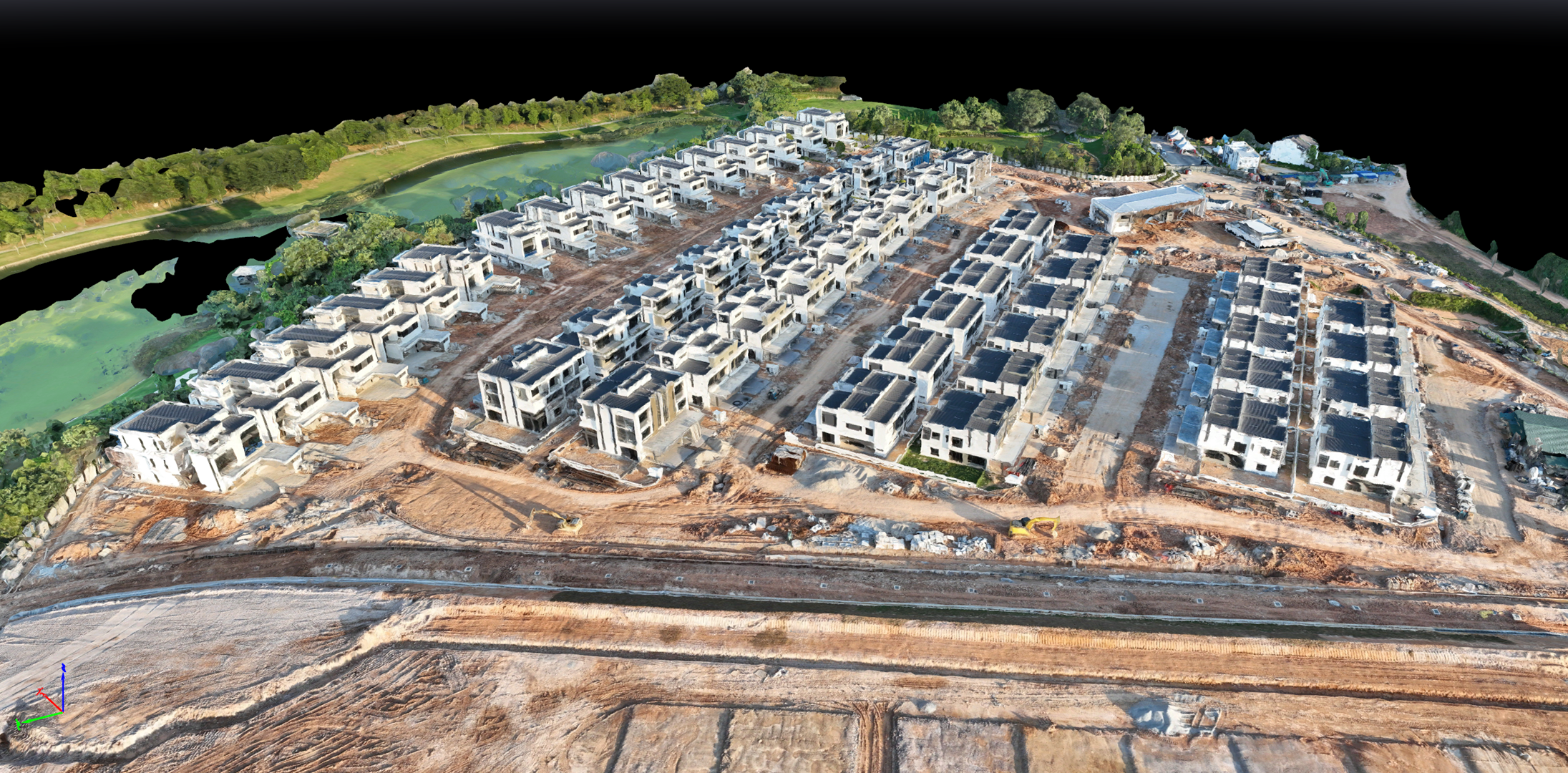
Progress Monitoring
Monitoring
Industry Certifications & Compliance
Triple-certified operations ensuring complete regulatory compliance and professional standards across Malaysia, Norway, and US jurisdictions.
Proven Portfolio & Results
Record-breaking achievements with Malaysia Book of Records certification and 28 successful enterprise projects demonstrating consistent value delivery.
Industry Expertise & Authority
Consistent source of educational information providing industry updates, technical insights, and professional guidance to clients and the broader surveying community.
Trusted Client Portfolio
Workflow
Professional drone mapping delivered in three clear steps: comprehensive site capture, advanced data processing, and ready-to-use deliverables in your preferred formats.
Capture
Capture
Process
Process
Deliver
Deliver
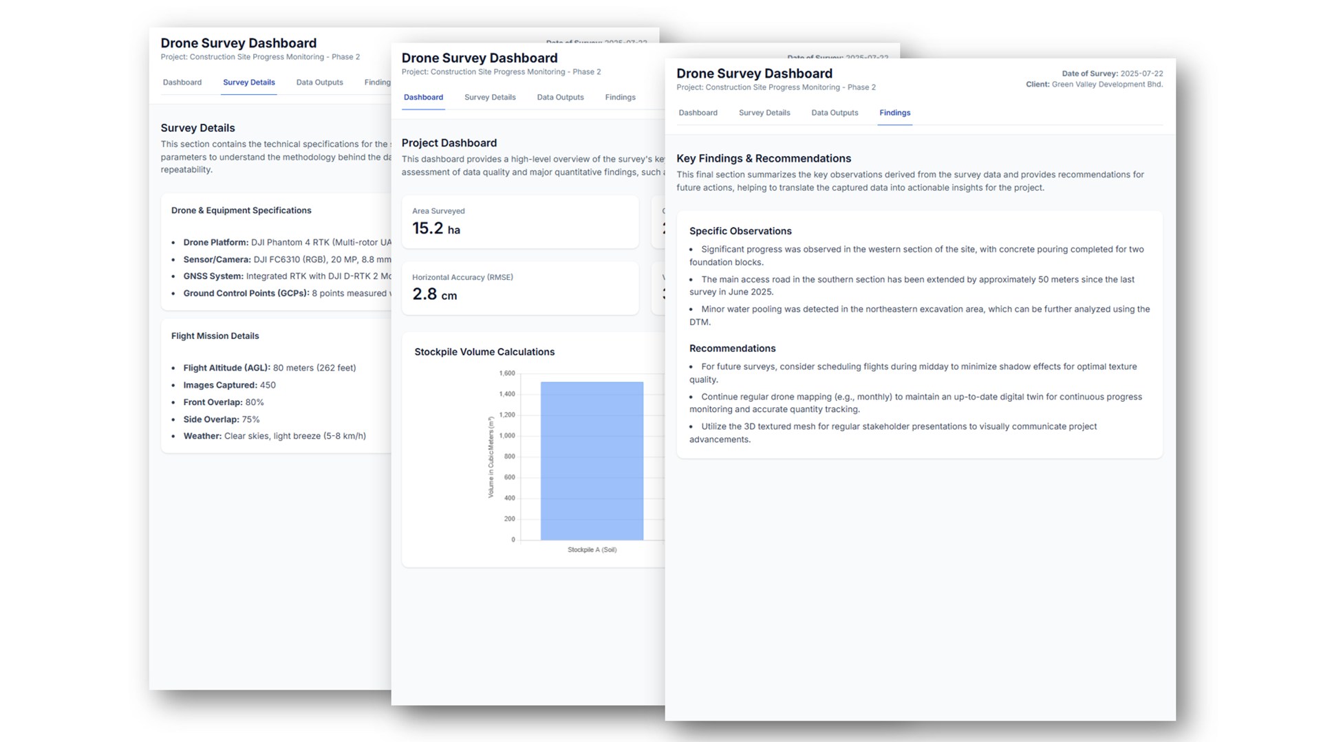
Deliverables
Comprehensive mapping outputs delivered in industry-standard formats for immediate integration into your workflow.
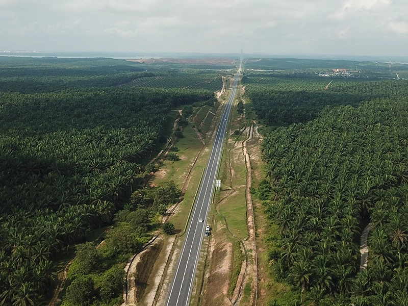
Project Portfolio
Proven business impact for Malaysia's leading enterprises. High-stakes projects demonstrating measurable ROI, timeline improvements, and competitive advantages delivered at scale.
Project Assessment & Expert Consultation
Get professional guidance on your drone mapping needs. Our team evaluates your project requirements and provides clear recommendations to help you make informed decisions.