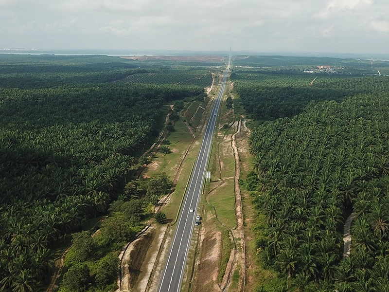
Highway expansion survey
260-hectare government infrastructure pre-survey completed 80% faster than traditional methods
The challenge
A critical highway expansion project required comprehensive pre-survey across 260 hectares with tight project deadlines and budget constraints. Traditional ground-based surveying methods would have consumed a minimum of 12 weeks, introducing significant safety risks for personnel working alongside active traffic, budget overruns from extended labour and equipment rental, and traffic disruption impacting public operations.
The client needed survey-grade accuracy (±2cm) for engineering design work, with deliverables compatible with their existing CAD and GIS workflows. Speed was essential — the project timeline depended on completing the survey phase quickly to avoid cascading delays in construction scheduling.
The solution
Dronify deployed an aerial drone survey system paired with survey-grade RTK GNSS positioning, covering the entire 260-hectare site in a fraction of the time required by traditional methods. Ground Control Points were established across the survey area to ensure centimetre-level accuracy throughout.
Advanced photogrammetric processing produced comprehensive site documentation including high-resolution orthomosaics, digital surface models, 3D point clouds, and CAD-ready deliverables — all completed within 2 weeks with zero safety incidents and minimal public disruption.
Results & impact
- 80% timeline reduction: 2 weeks vs 12 weeks traditional ground survey
- RM 200,000+ cost savings: Reduced manpower, equipment rental, and logistics costs
- 70% manpower reduction: Minimised risk of manual labour error and uncertainty
- 1cm survey accuracy: Exceeding the precision of traditional methods (±5cm typical)
- Zero safety incidents: No personnel exposure to active traffic zones
- Government-scale reliability: Deliverables met all regulatory and engineering standards
Have a similar project?
Get a free project assessment with cost estimates and timeline projections for your infrastructure survey.